published 2022-11-10
Bikepacking north to the Arctic Circle.
I took a short bikepacking trip up to the Arctic Circle, and took a couple photos along the way. Think of this post as me trying to start building out the gallery functionality. In the future I especially want to add an interactive map!
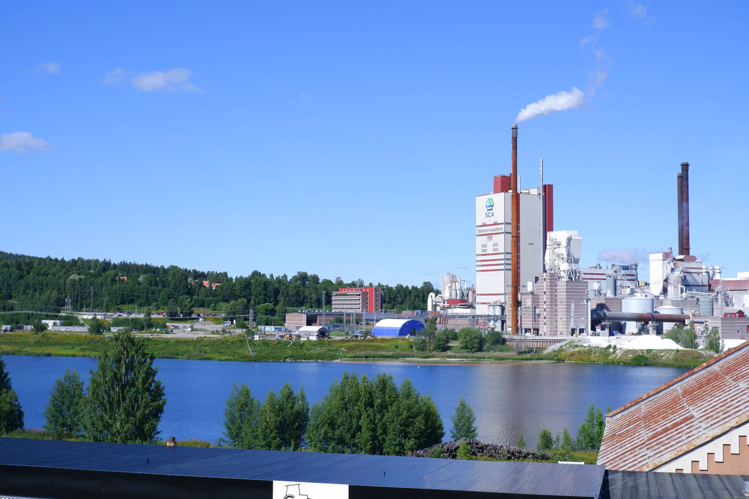
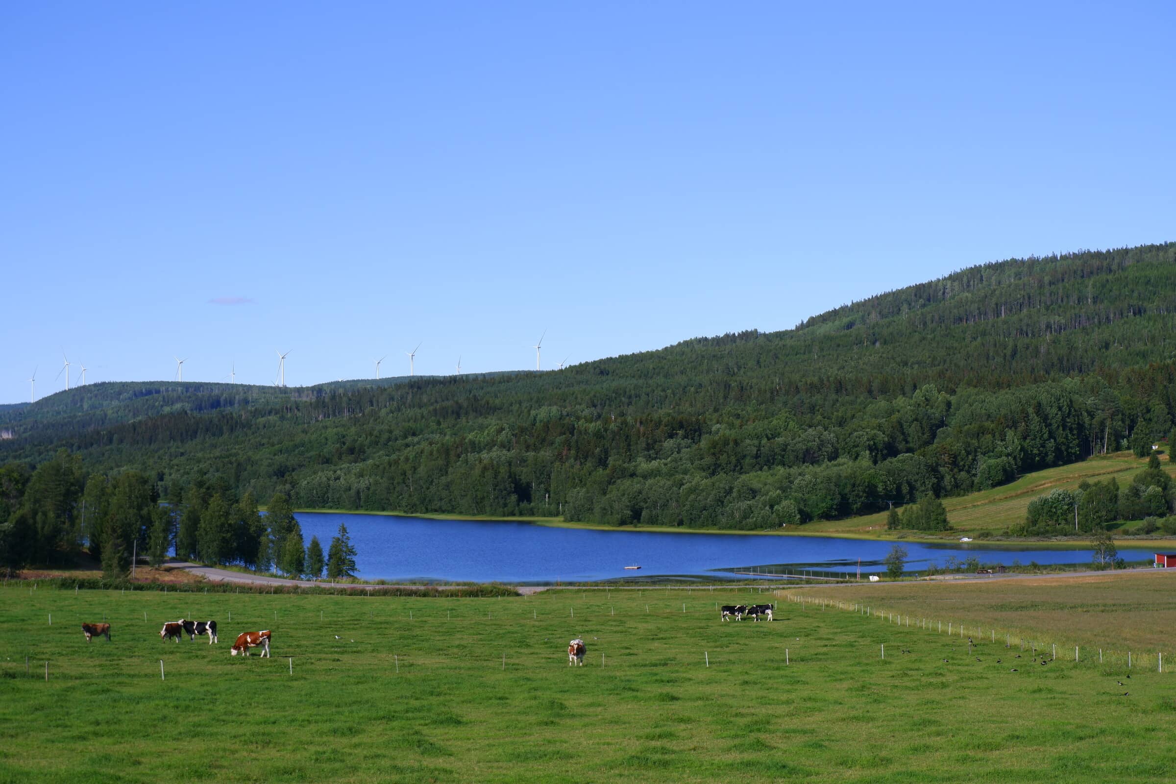
Among the things I love about bikepacking around Sweden is the diverse nature, and especially the farms. Industrial farms in other countries scare me. This is also the start of a common sight in the northern parts of the country - electricity generation.
The next day started with some light fog in Ådalen. To give some context, Ådalen roughly translates to “River Valley”. It stretches inland from Sundsvall on the east coast in the middle of Sweden.
A classic SAAB (or is it a Volvo?) car in the fog with another wind turbine in the distance. As we’re traveling further and further inland the terrain starts turning hilly.
Following Ådalen is also a part of Stambanan - the main railroad line of old. Nowadays most of the train traffic follows the coast, but there’s still the occasional goods train passing by here.
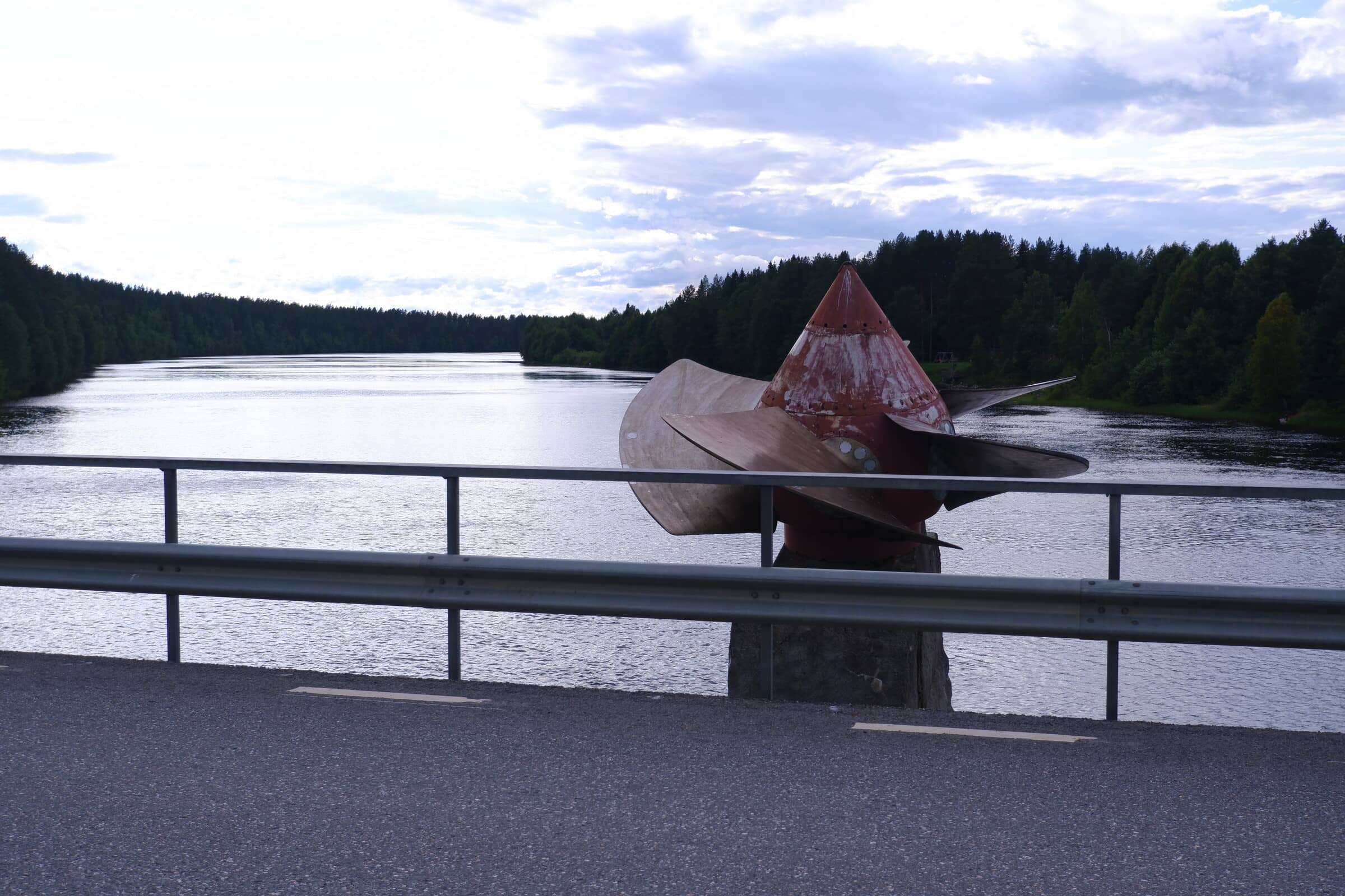
The endless signs that northern Sweden is the main producer of electricity we reach another hydropower dam. Compared to the huge infrastructure in the US, and especially China, the ones in Sweden are discreet. All of them obscured behind forest. So there isn’t much that you see besides the powerlines visible in earlier pictures and access roads, but here’s a turbine!
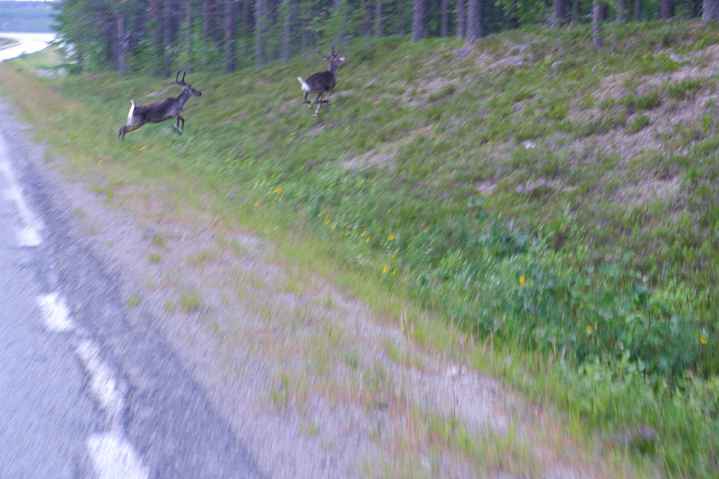
Whoa! Here’s the first fluffbutt of the trip! Please excuse the terrible photos of the reindeer. I’m on a bike and unlike cars, they think that bikes are friggin’ scary.
Back to electicity stuff.
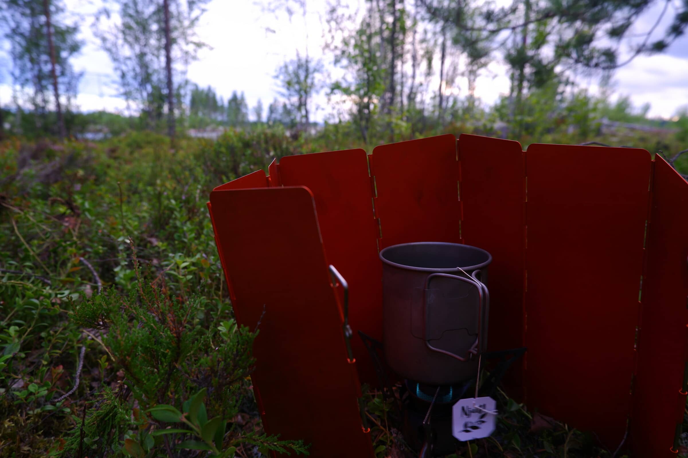
When covering long distances you start appreciating the small things. Like a nice cup of the cheapest blueberry tea you can find.
Next up - the Swedish Lapland.
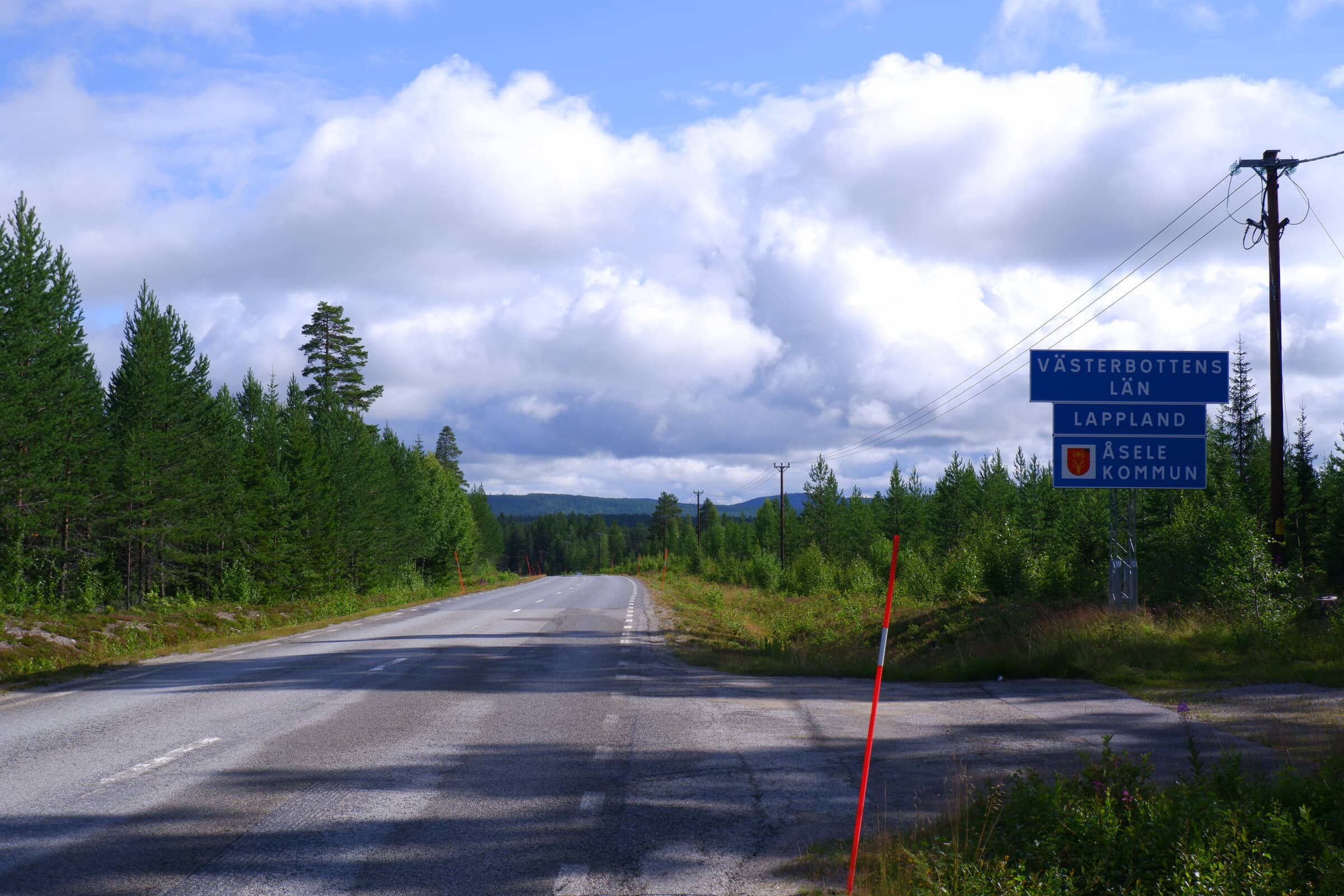
The first major city after Sundsvall is Åsele. Major is a very comparative term though. Åsele municipality only has about 2 thousand inhabitants.
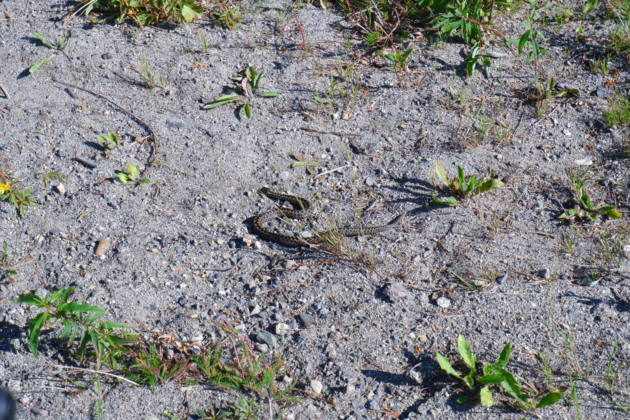
Oh, a dangernoodle is on the side of the road! It’s a European Adder/Viper. They’re mostly harmless and try to avoid humans as best they can.
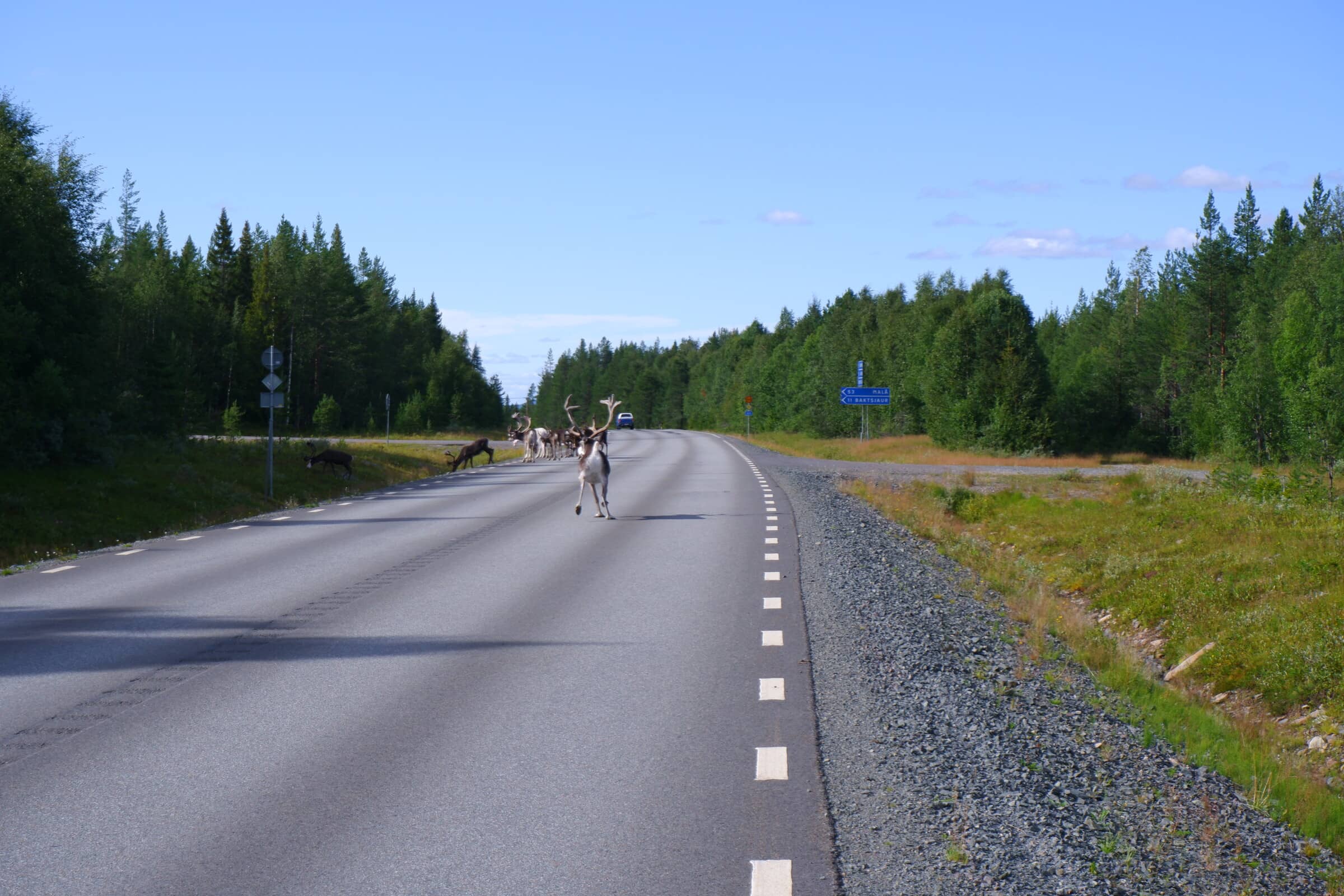
Before going back to the regular programming, here are some more fluffbutts. Unlike the ones before, there’s a special one here.
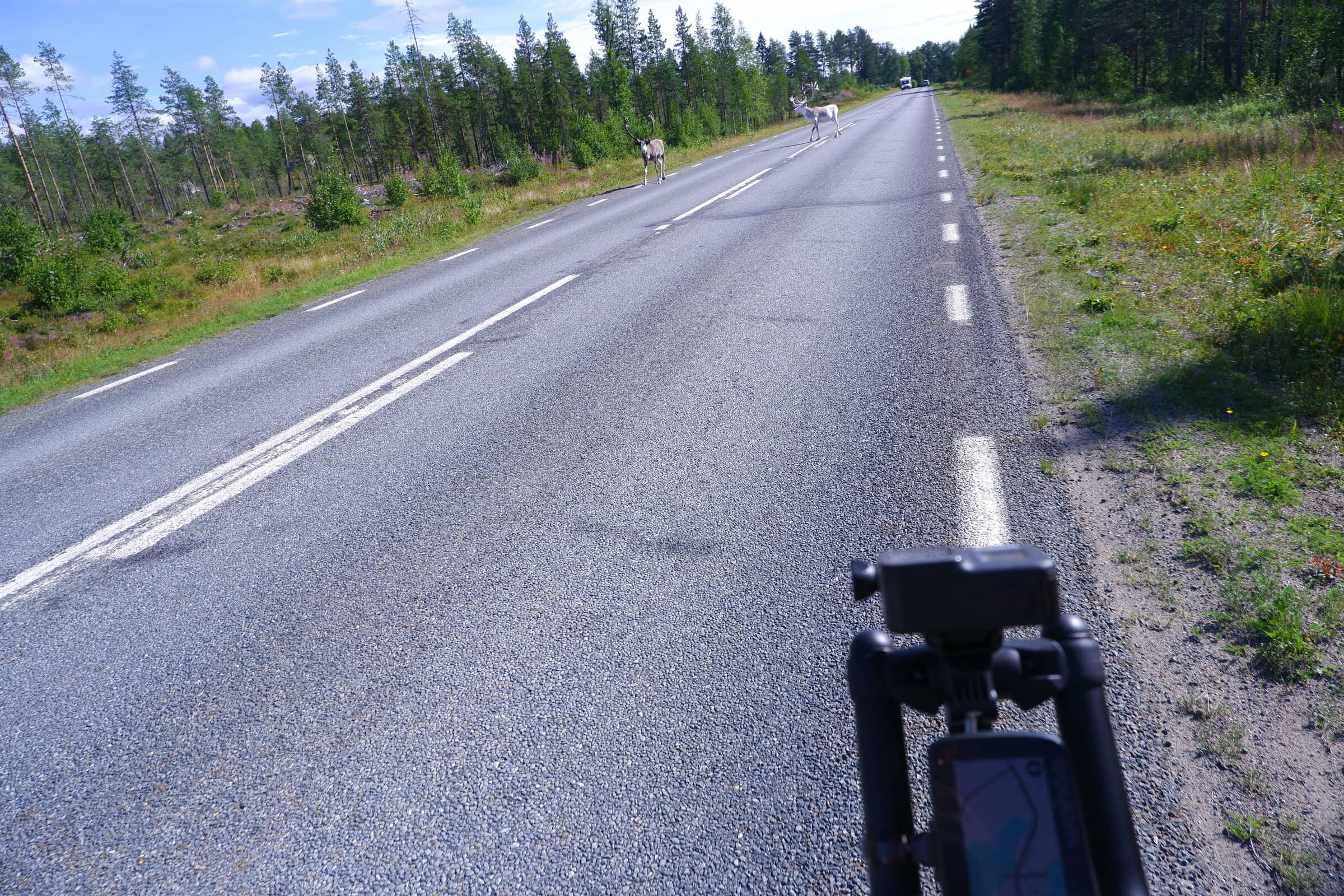
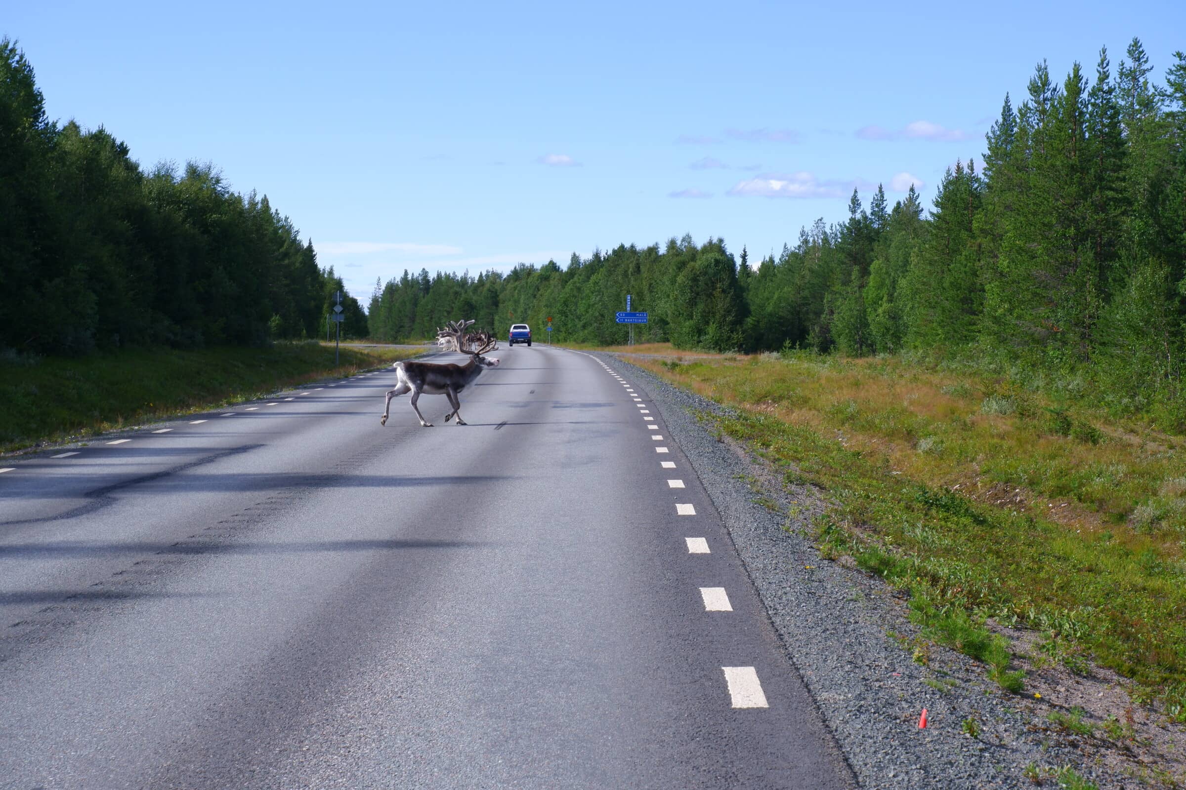
Cyclists are dangerous, cars aren’t!
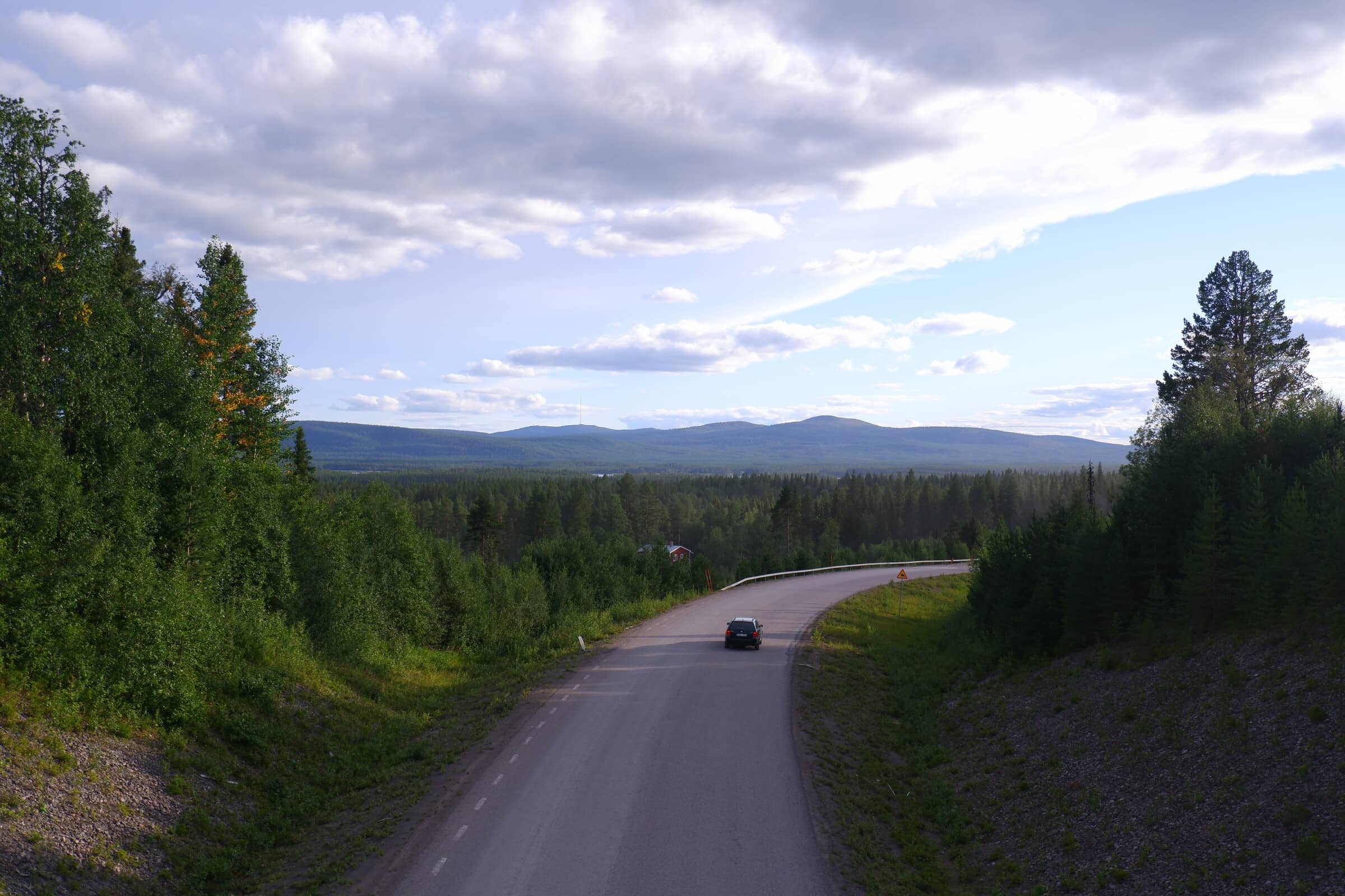
Further north, and now away from Ådalen we come up to Arvidsjaur. The city is on the precipice to Fjällen, the more mountainous areas of Sweden and home to the biggest national parks.
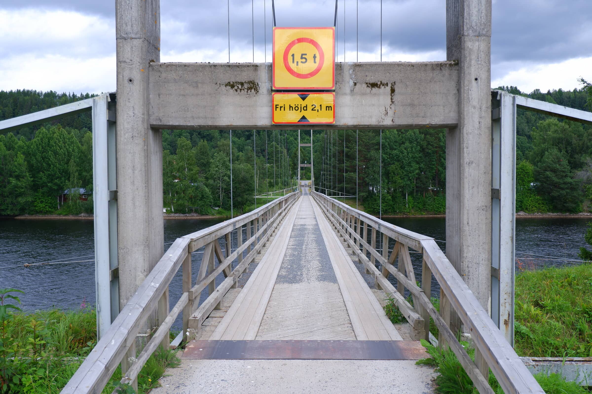
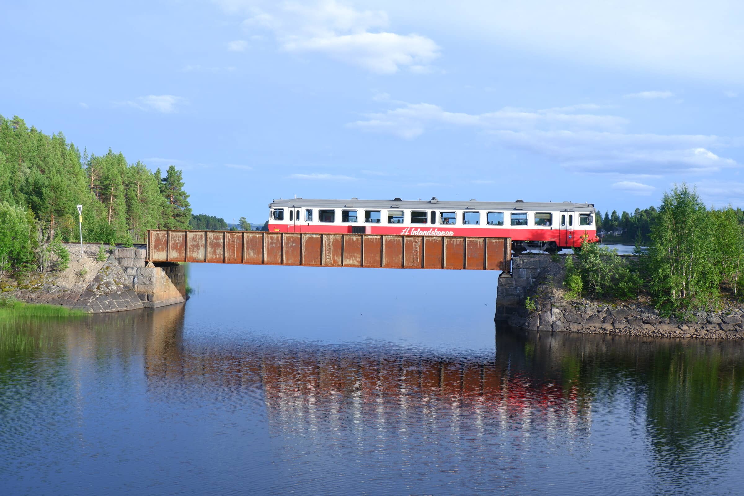
Along the inner part of the country there’s another railroad. It’s more or less not used because all of the transport goes along the coast but you can still take a small passenger train.
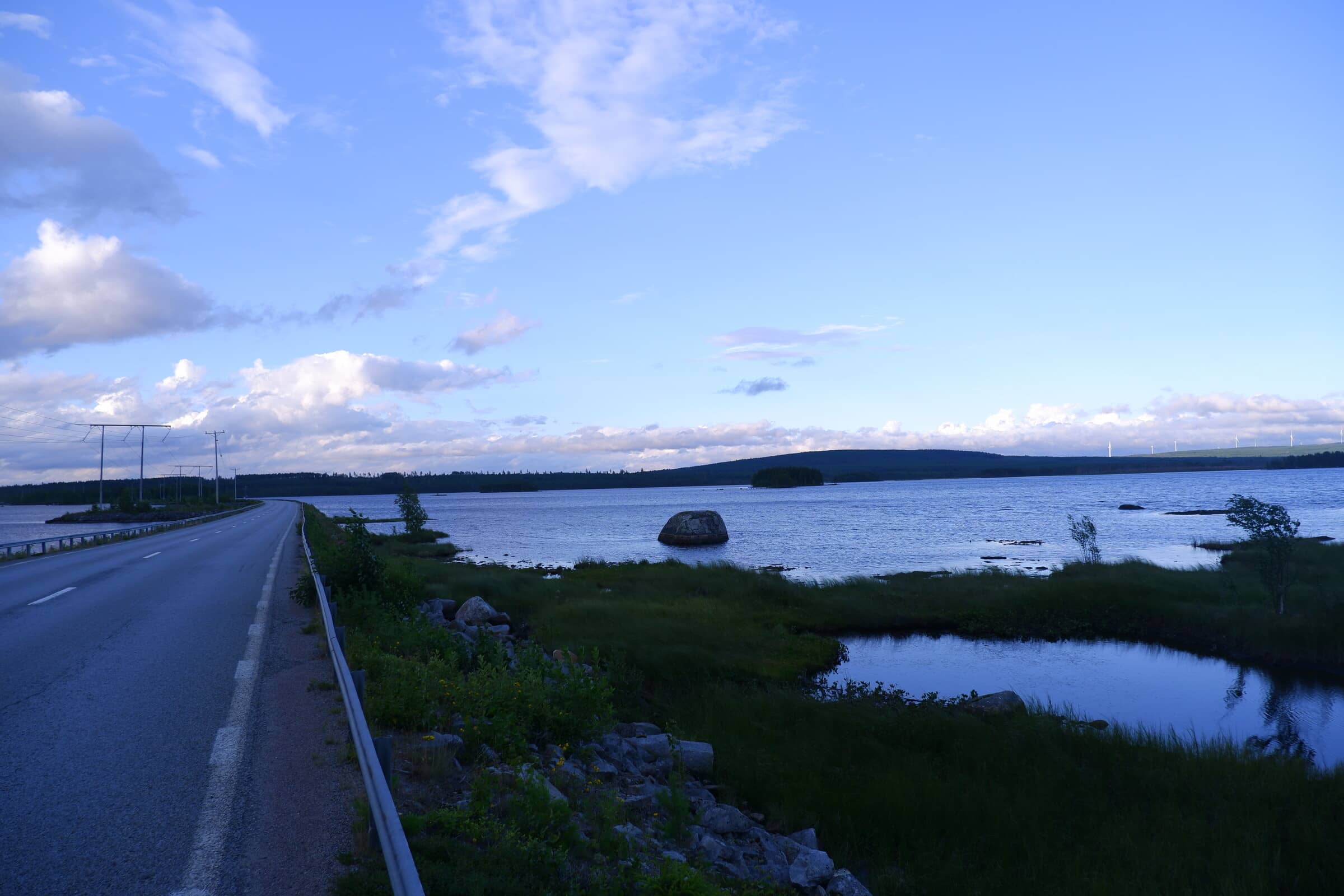
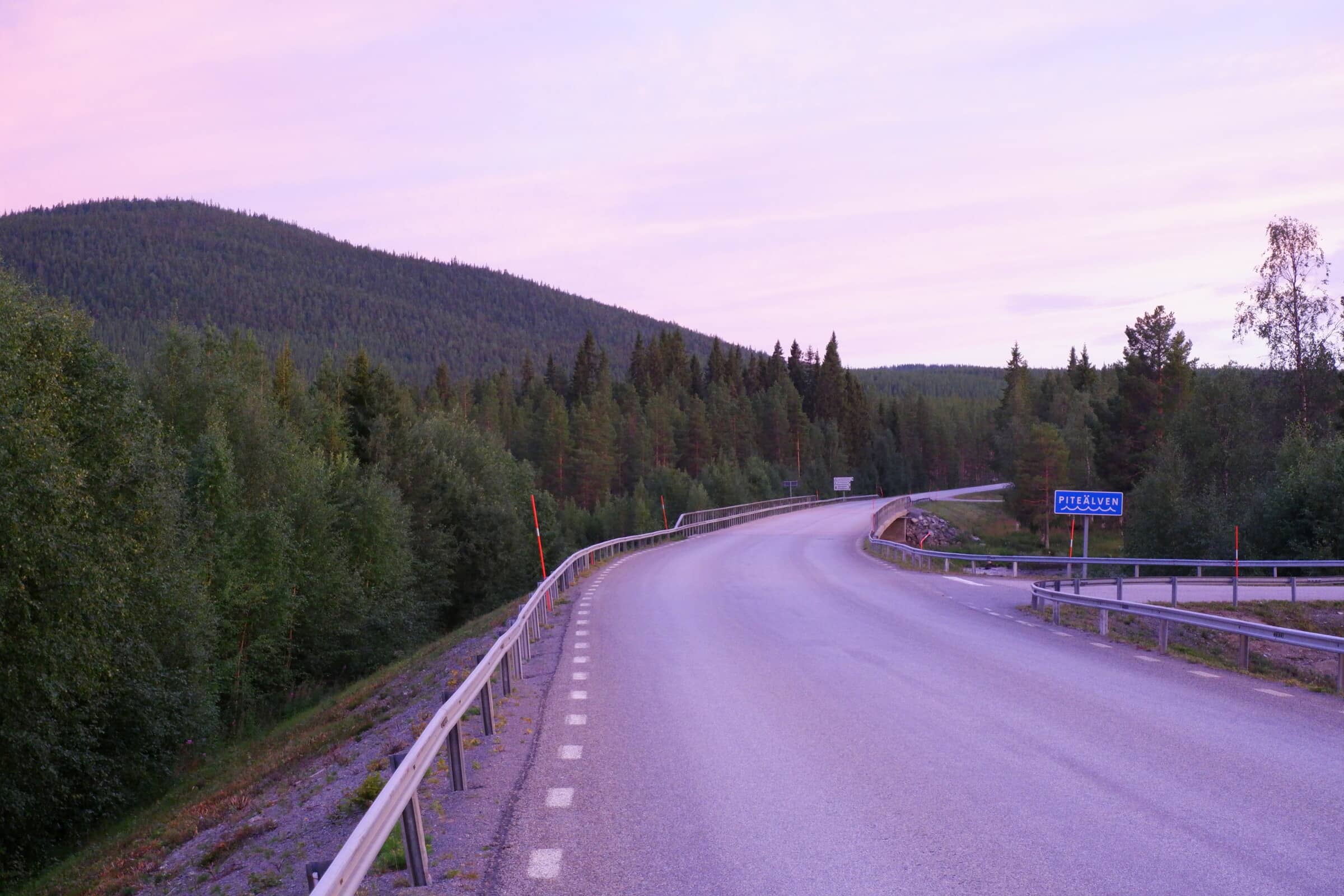
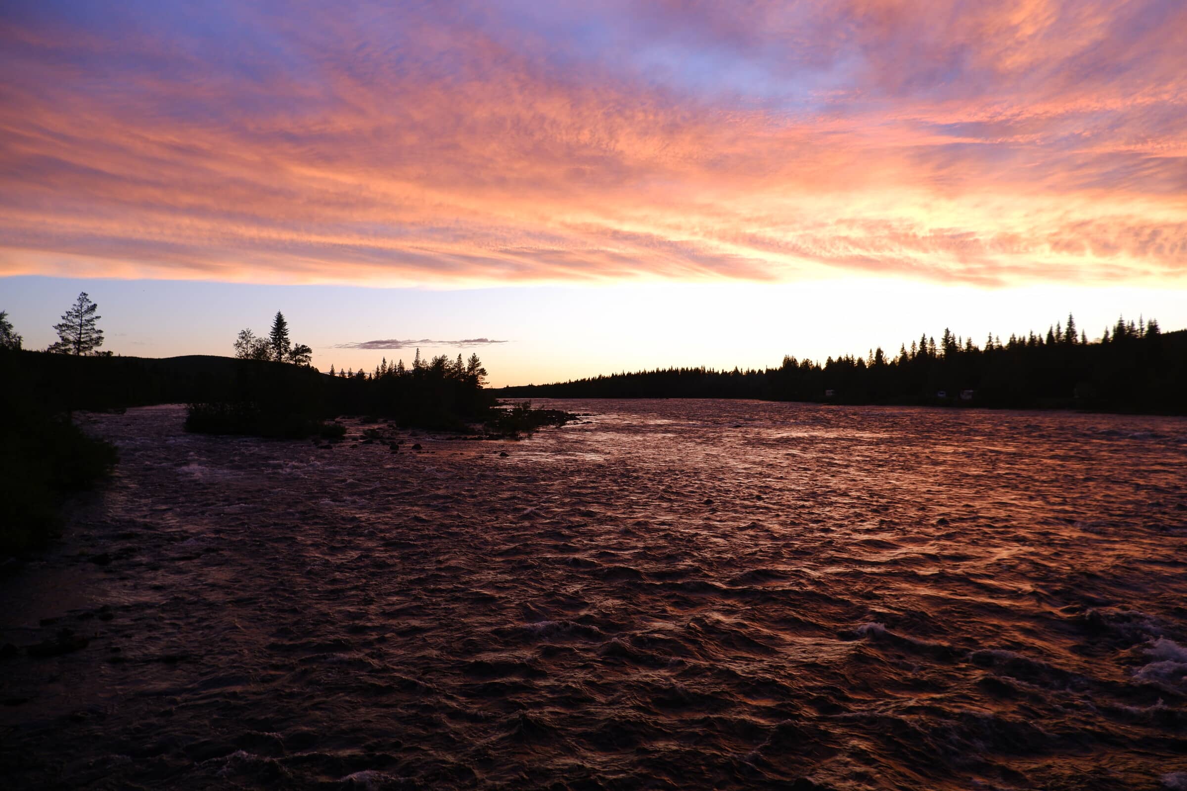
Not far north from Arvidsjaur we pass Piteälven. One of the major rivers going eastward towards the Gulf of Bothnia.
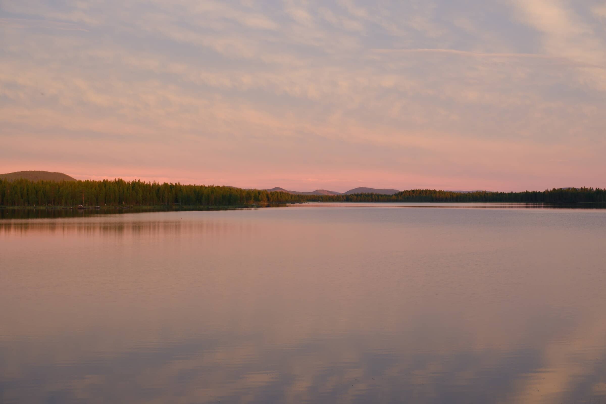
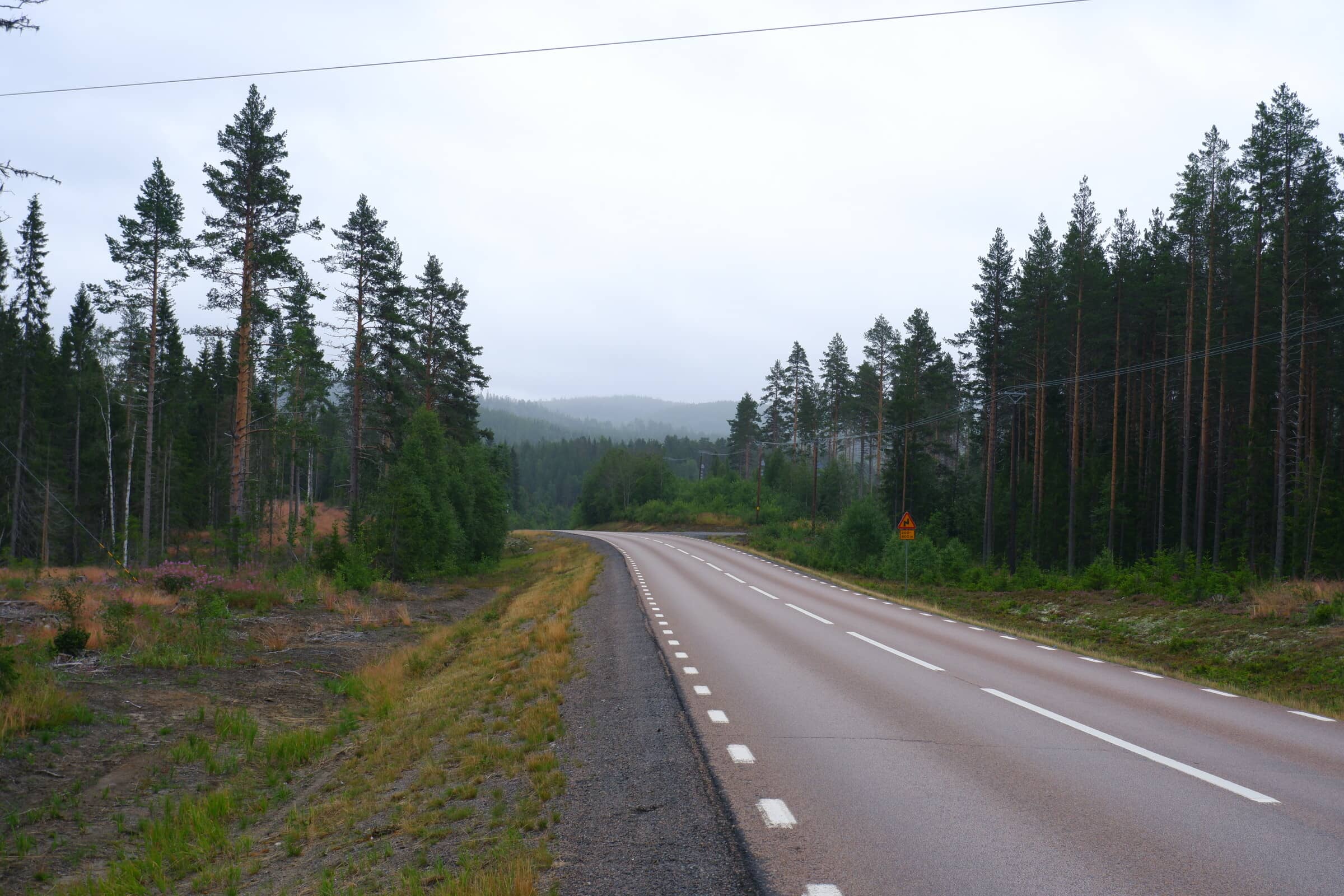
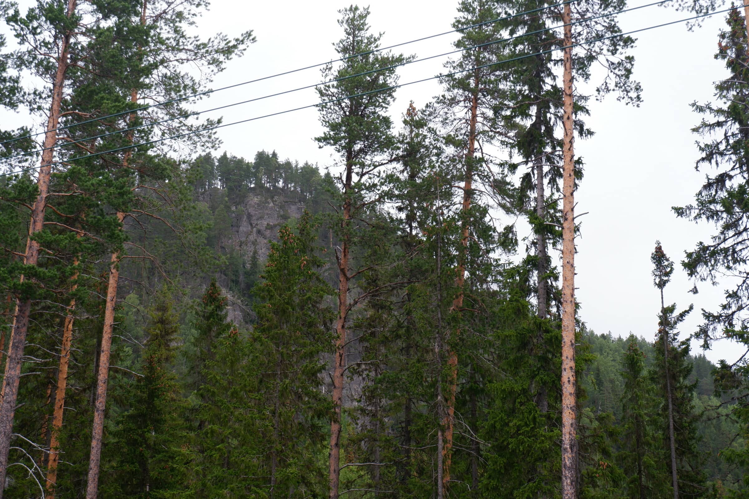
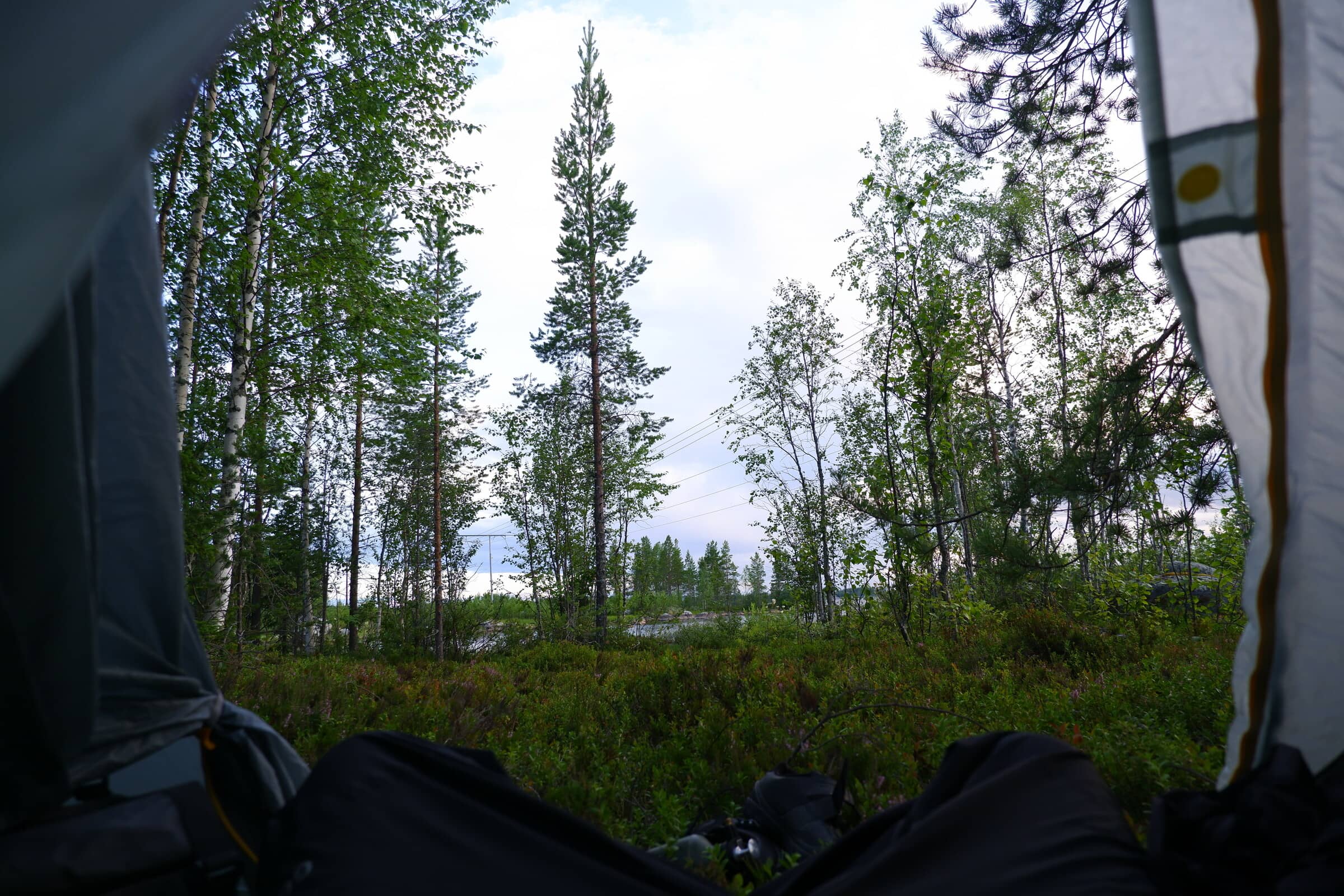
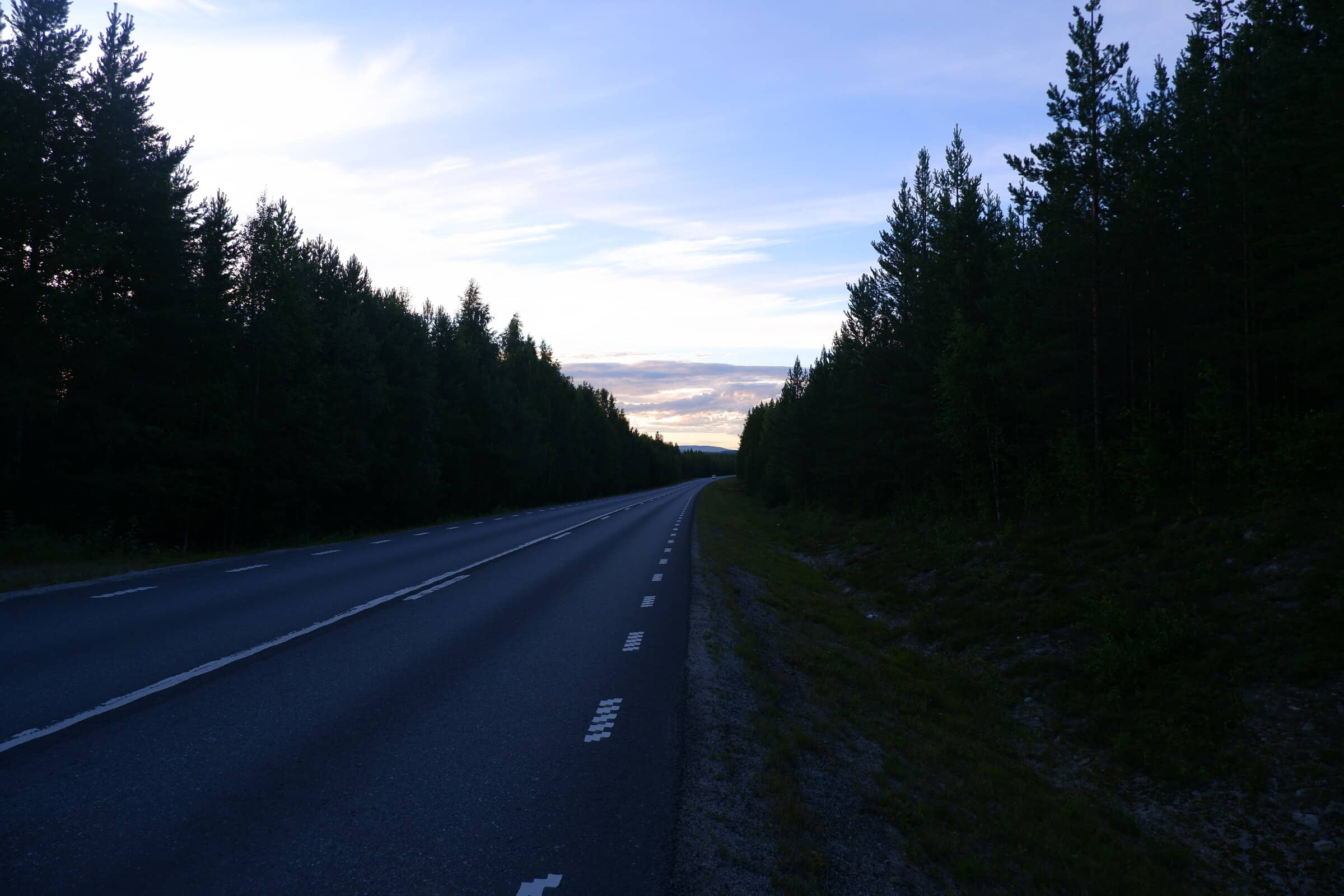
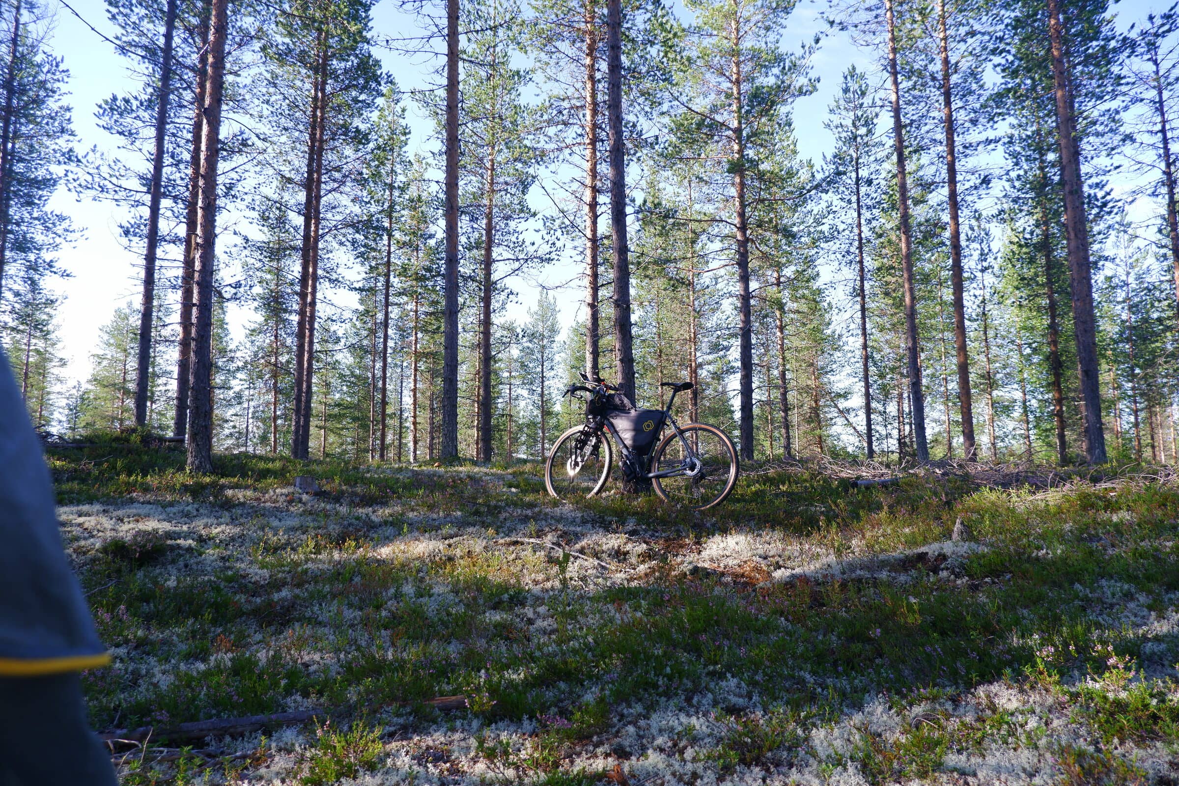
Another fresh summer morning in the forest.
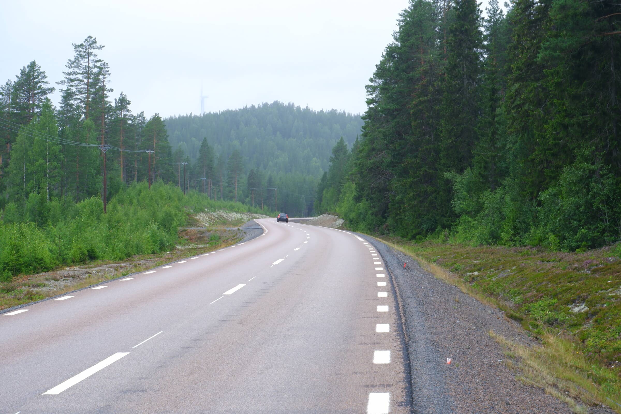
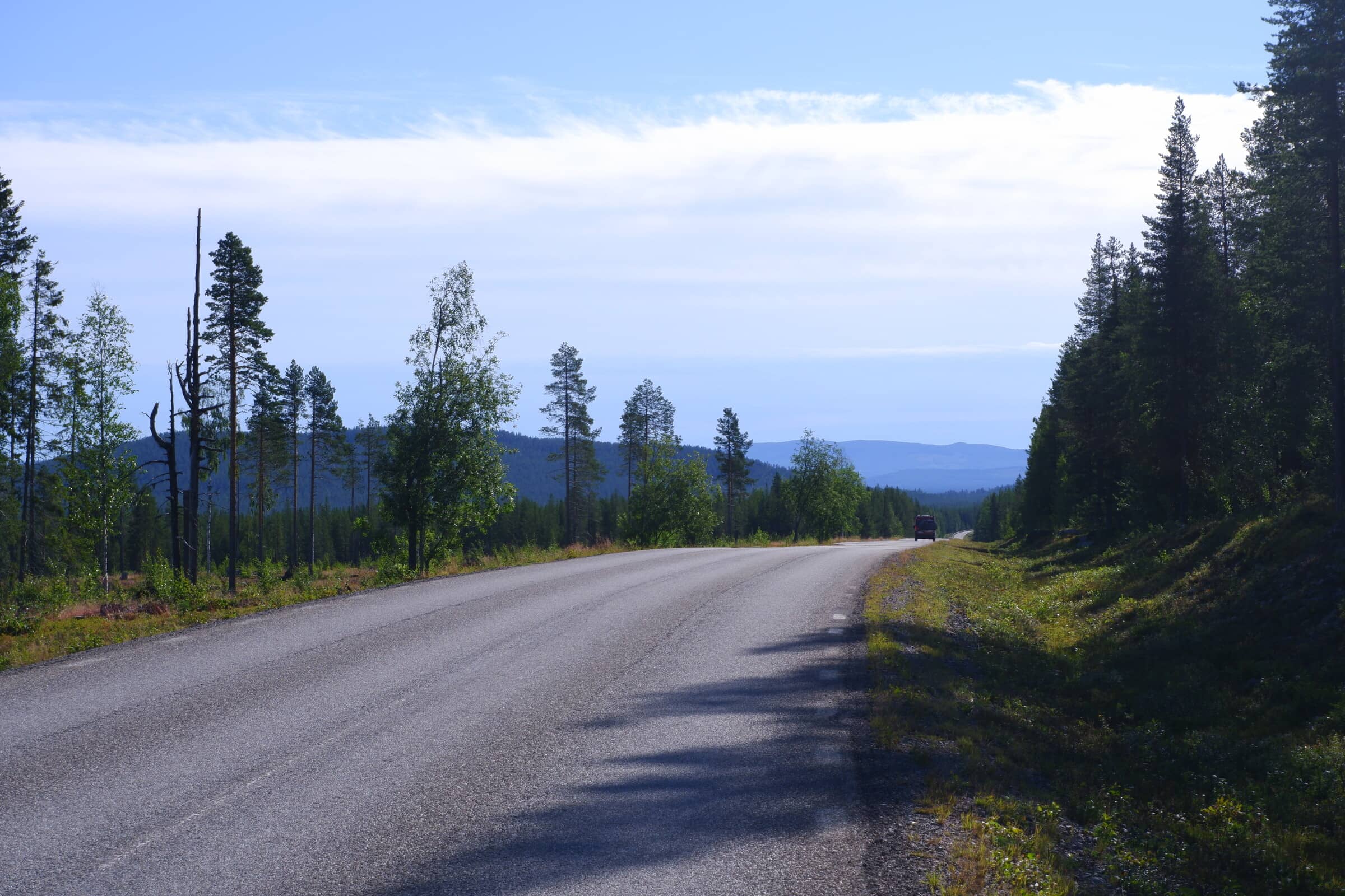
Norwegians on a roadtrip in Sweden. This is the E45, a major highway yet it’s still just 2 lanes.
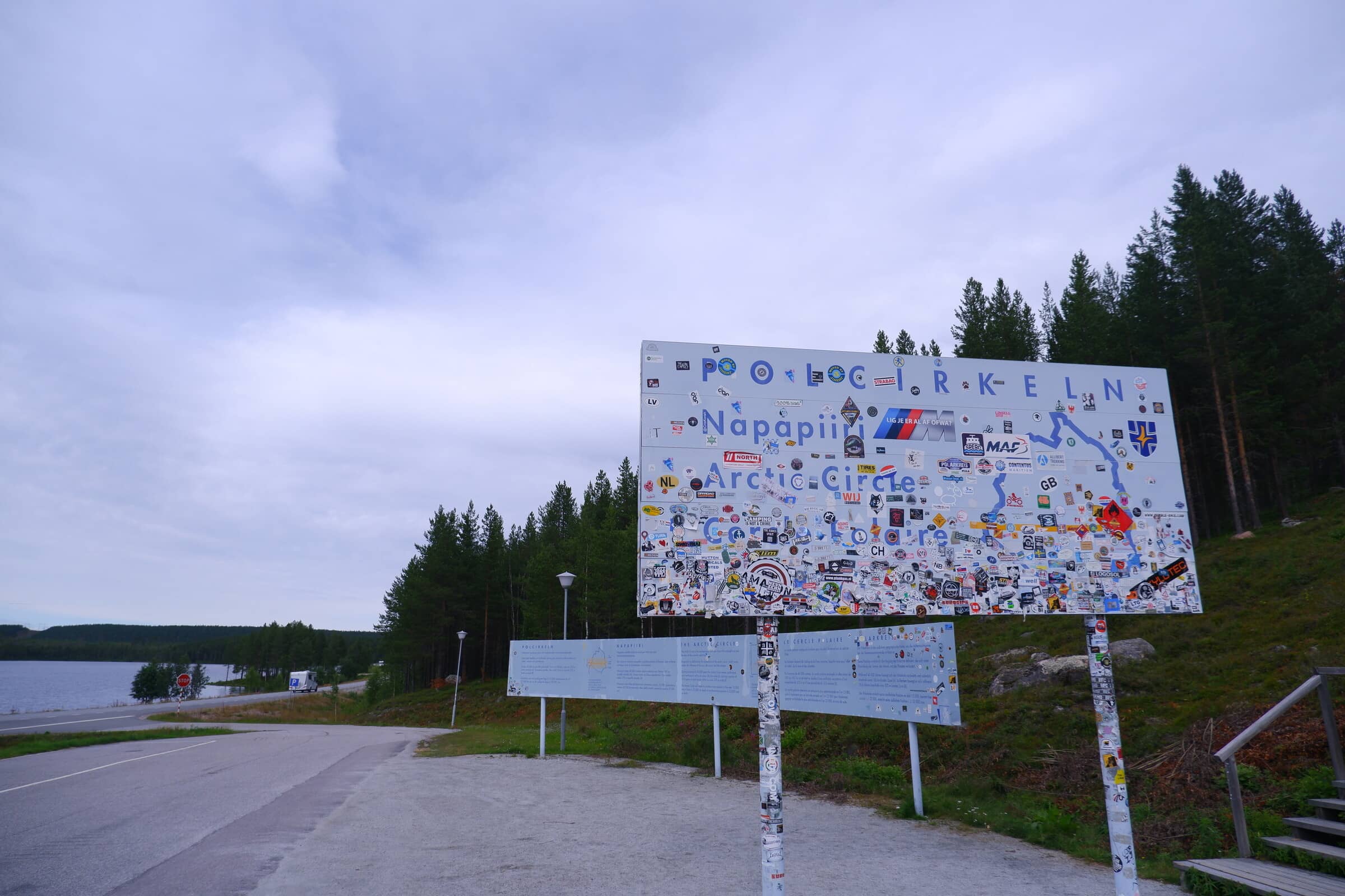
Lastly, the final destination of this trip - the Arctic Circle sign just outside Jokkmokk on the side of the E45.